Latest Video
News
-

Meteo Curacao uploaded a video (11/20/2023)
Boletin semanal 20 Nov te ku 26 Nov 2023
-
Meteo Curacao uploaded a video (11/13/2023)
Boletin semanal 13 November 2023 Te Ku 19 November 2023
-
Meteo Curacao uploaded a video (10/30/2023)
Boletin semanal 30 Oktober 2023 Te Ku 5 November 2023
-
Meteo Curacao uploaded a video (10/23/2023)
Boletin semanal 23 Oktober 2023 Te Ku 29 Oktober 2023
-
Meteo Curacao uploaded a video (10/16/2023)
Boletin semanal 16 Oktober 2023 Te Ku 22 Oktober 2023
Weather Warning
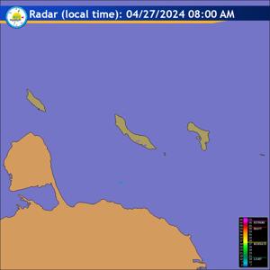
Radar
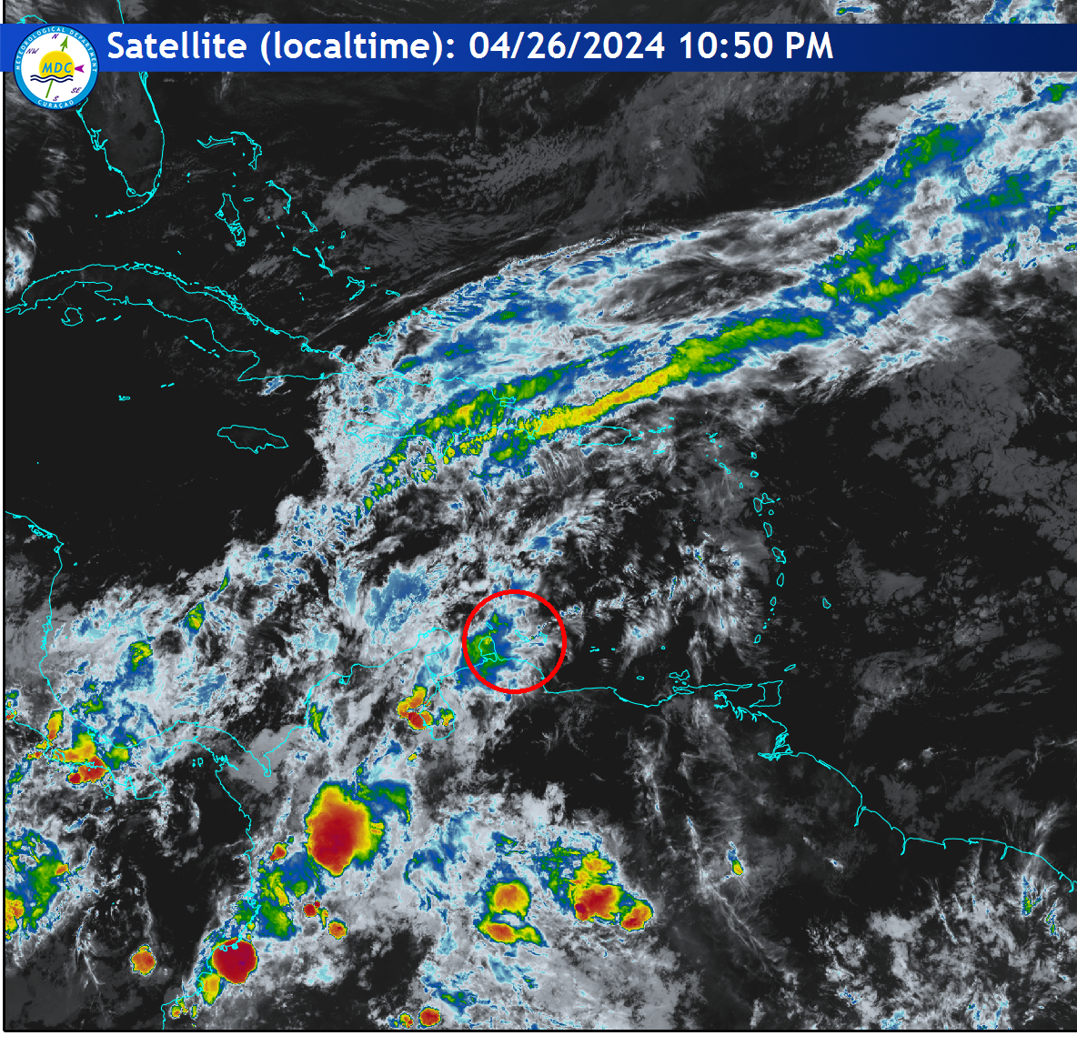
Satellite (InfraRed)
Weather (°F °C ) (Mph Km/h )
| |
|
Forecast
Weather Forecast for Curaçao and surroundings valid until Wednesday morning
06:00 l.t., April 24, 2024.
Issued:
Tuesday April 23, 2024 05:00 l.t. (09:00 UTC).
Weather:
Mainly partly cloudy and no significant showers are expected.
Furthermore, the Saharan dust particles will continue suspended over our region
for the next couple days.
Forecast high will be 33ºC, and the low will be 28ºC.
Sunrise will occur at 06:20 and sunset at 18:49.
Winds:
Easterly and gentle to moderate; force 3 to 4 (12 to 30 km/h, 7 to 16
knots). A few occasional gusts to fresh; force 5 (31 to 39 km/h, 17 to 21
knots).
Synopsis:
Do not foresee much activity in the weather for the next few days
while the possibility of a brief shower activity over limited areas remains
unchanged. Furthermore, the Saharan dust particles will continue to influence
our local weather.
Sea conditions:
Slight to moderate with wave heights between 0.5 to 1.5 meter (2
to 4 feet).
Special features:
None.
Outlook until Thursday morning:
Partly cloudy with a morning showers possible.
Forecaster:
Abraham.
The next weather forecast will be issued on Tuesday at 11:00 l.t. (15:00 UTC).