


Latest Video
News
-

Meteo Curacao uploaded a video (7/5/2024)
Meteorological Department Curaçao
-
Meteo Curacao uploaded a video (7/1/2024)
Beryl Yuli 2024
-

-
Meteo Curacao uploaded a video (5/13/2024)
Meteorological Department Curaçao
-
Meteo Curacao uploaded a video (11/20/2023)
Boletin semanal 20 Nov te ku 26 Nov 2023
Weather Warning
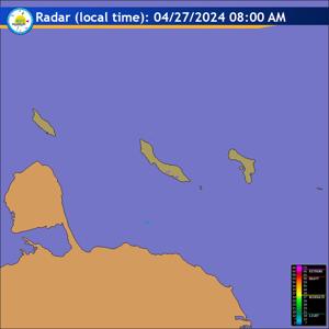
Radar
Satellite (InfraRed)

Forecast
Weather Forecast for Curaçao and surroundings valid until Sunday morning 6:00
l.t., July 12, 2026.
Issued:
Saturday July 11, 2026, 05:00 l.t. (09:00 UTC).
Weather:
Partly cloudy and somewhat hazy. Cloudy at times with a few passing
showers. Becoming increasingly cloudy by tonight with more frequent showers,
some of which could be moderate to locally heavy and a chance of thunderstorms.
Forecast high will be 31ºC and the low will be 27ºC.
Sunrise will occur at 06:18 and sunset at 19:05.
Winds:
East-northeast today, becoming east-southeast tomorrow and moderate to
fresh; force 4 to 5 (20 to 39 km/h, 11 to 21 knots). Occasionally strong and
especially in heavier showers with gusts possibly reaching near gale force;
force 6 to 7 (40 to 61 km/h, 22 to 33 knots).
Synopsis:
Moisture and instability associated with an approaching tropical wave
are expected to increase cloudiness and support the development of showers,
spreading across the island from east to west over the next 24 hours.
Additionally, strong breezes will persist at times, while sea conditions will
remain locally fairly rough today.
Sea conditions:
Moderate to locally quite rough with wave heights ranging
between 1.5 and 2.5 meters (4 to 8 feet). The highest wind-generated waves are
expected along the northern coastal sections of the island and across the open
sea. Consequently, the Code Yellow phase advisory for rough seas remains in
effect. Boaters and swimmers are advised to stay vigilant and exercise caution.
Significant tropical weather systems:
None.
Special features:
None.
Outlook until Monday morning:
Predominantly cloudy conditions will persist.
Showers will gradually diminish later on Sunday before increasing again on
Monday, yet a chance of isolated thundershowers will remain.
Forecaster:
Coffie
The next weather forecast will be issued on Saturday 11:00 l.t. (15:00 UTC).