


Latest Video
News
-

Meteo Curacao uploaded a video (7/5/2024)
Meteorological Department Curaçao
-
Meteo Curacao uploaded a video (7/1/2024)
Beryl Yuli 2024
-

-
Meteo Curacao uploaded a video (5/13/2024)
Meteorological Department Curaçao
-
Meteo Curacao uploaded a video (11/20/2023)
Boletin semanal 20 Nov te ku 26 Nov 2023
Weather Warning
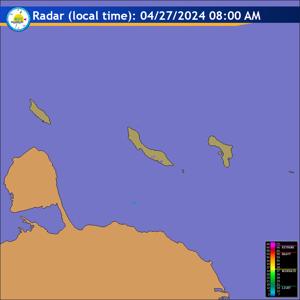
Radar
Satellite (InfraRed)

Forecast
Weather Forecast for Curaçao and surroundings valid until Wednesday midday
12:00 l.t., July 1, 2026.
Issued:
Tuesday June 30, 2026, 11:00 l.t. (15:00 UTC).
Weather:
Generally sunny and remaining mostly dry. There is a chance of a few
passing showers by tomorrow morning.
Forecast high will be 32ºC and the low will be 27ºC.
Sunrise will occur at 06:15 and sunset at 19:04.
Winds:
Easterly and moderate to fresh; force 4 to 5 (20 to 39 km/h, 11 to 21
knots). Higher gusts to strong; force 6 (40 to 50 km/h, 22 to 27 knots).
Synopsis:
A tropical wave currently moving over the ABC islands is increasing
humidity and promoting atmospheric instability in the region. This is resulting
in changeable conditions, although it will remain largely dry with only a few
locally isolated light showers. An additional influx of moisture is expected
overnight, which will promote cloud formation and increase the chance of showers
tomorrow morning.
Sea conditions:
Moderate in general with wave heights between 1 and 2 meters (3
and 7 feet). Highest wave action is over the open sea and close to the northern
seaboard area.
Significant tropical weather systems:
None.
Special features:
None.
Outlook until Thursday morning:
Partly cloudy, smaller chance for a shower on
Wednesday increasing reduced visibility and slightly stronger winds.
Forecaster:
Correa.
The next weather forecast will be issued on Tuesday 17:00 l.t. (21:00 UTC).